Flags
Smarter field operations for orienteering events
Available on iOS & Android · Start for free
Smarter field operations for orienteering events
Available on iOS & Android · Start for free
Features
View your live location and control positions overlaid on the O-map. No more getting lost in the terrain.
Track control hanging and collecting as tasks. Progress is visible on the map in real time for the whole team.
See staff positions on the map live. Stay aware of the full picture and operate safely, even deep in the terrain.
Share field conditions instantly with notes and photos. The activity timeline keeps the entire work history in one place.
Screenshots
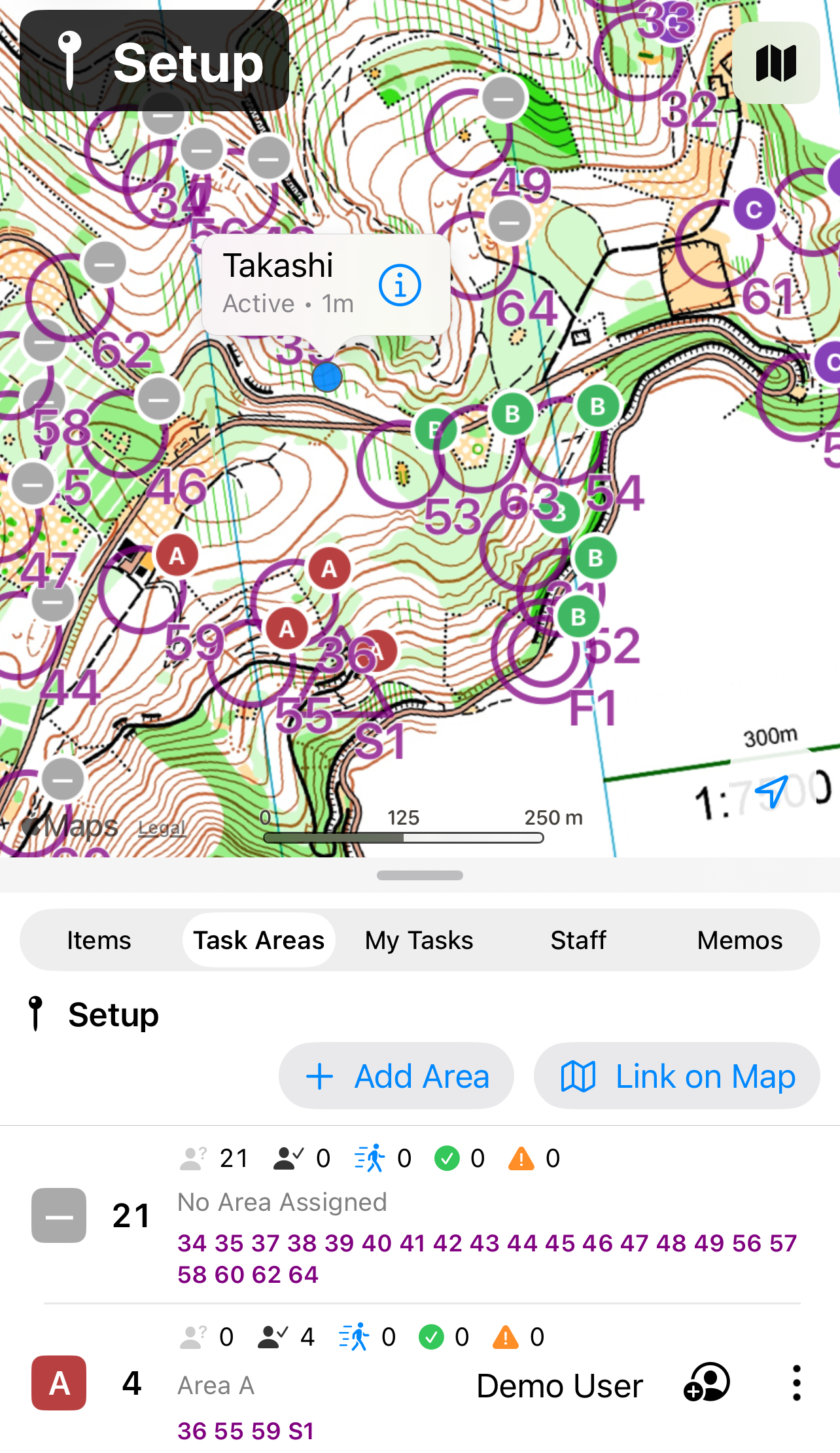
Control positions overlaid on the O-map, with placement and retrieval tasks assigned by area.
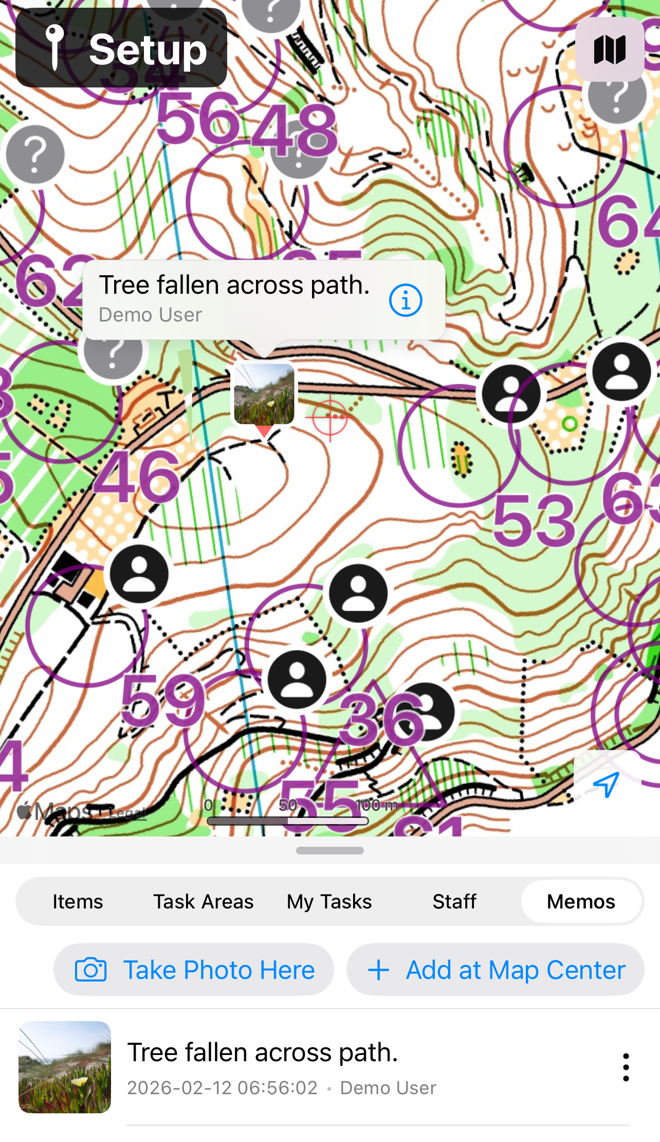
Track staff positions live on the map and share photo notes with the team instantly.
Make your event operations smarter, together with your team.
All features are currently free during our launch period.